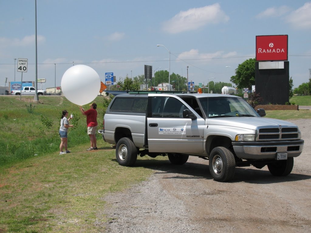
Tuesday May 11th, 2010: Casey Letkewicz (NCSU) and Jen Standridge (NCAR) launch a radiosonde to measure a vertical profile of the pre-storm atmosphere in Clinton, OK.

Tuesday May 11th, 2010: MGAUS team member, Johannes Dahl (NCSU) watches storms develop off in the distance in western Oklahoma.

Wednesday May 12th, 2010: Radar image of our target supercell in western Oklahoma during one of our deployments. My position is indicated by the “NSSL2” marker to the southeast of the southern storm. The red polygons you see in the image represent areas under a severe thunderstorm warning, while the pink polygon represents a tornado warning. On this day, NSSL2 was in charge of launching weather balloons in the far-inflow region of the supercell.

Friday May 14th, 2010: If you squint and look in the center of this photo, you will see a tornado, which touched down in the vicinity of Midland, TX in the early afternoon. This is the second one I’ve seen first-hand in my life and I would have taken better pictures, but duty calls and I needed to get in position for our next launch.

Saturday May 15th, 2010: I took this photo on the top floor of our hotel in Midland, TX. This is not even all of the VORTEX2 armada, which consists of around 50 vehicles as well as over 100 scientists from organizations around the world. I think it would be great if someone (with more authority than me) would organize a group photo of all VORTEX2’s vehicles and people in the near future.

Saturday May 15th, 2010: MGAUS vehicles nicely lined-up while the team waits to deploy to the next site in southeast New Mexico.
No comments:
Post a Comment